Battery Storage

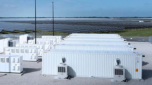
Environmental Consulting Services for Solar and BESS Project (Virginia)
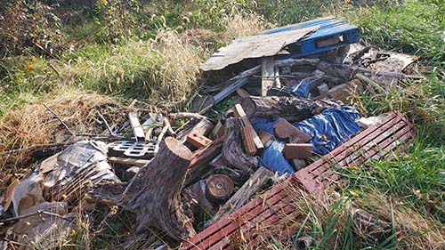
GAI completed a Phase I ESA and identified two recognized environmental conditions (RECs) in the vicinity of the proposed facility. GAI also developed a complete permitting matrix so the client could plan for the longest lead items as the project is developed.

Environmental Consulting Services for Solar and BESS Project (Kentucky)
GAI completed a Phase I ESA and identified two recognized environmental conditions (RECs) in the vicinity of the proposed facility. GAI also developed a complete permitting matrix so the client could plan for the longest lead items as the project is developed.
All Renewables

GIS Services (Multiple States)
Since 2007, GAI has been a shortlisted provider of on-call GIS services under a separate framework agreement. The scope has included:
- Development and programming of GIS applications.
- Maintenance of AR GIS datasets and geodatabases, in accordance with AR standards.
- Collecting and processing geospatial data.
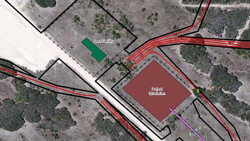
- Creating custom maps for documents, reports, and presentations.
- Conducting spatial analysis.
- Creating services for use in AR’s GIS Portal and ArcGIS Online.
- Supporting development and deployment of Survey123 construction inspections.
- Providing GIS technical assistance and training to staff.
Operational, Development, and Construction projects have been completed in AZ, CA, CO, GA, IL, IN, IA, KY, LA, MA, MD, MN, MT, NV, NM, NY, NC, ND, OH, OK, OR, PA, SC, SD, TN, TX, UT, VA, VT, WA, WI, WV, WY.

Wind and Solar Farm Hydrology and Hydraulics Studies (Multiple States)
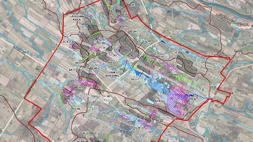
GAI performed preliminary hydrology and hydraulics (H&H) studies for solar farms located in Alabama, Colorado, Illinois, Kentucky, New York, and Texas. A desktop review of applicable federal, state, and local regulations was completed to govern the design of proposed drainage features. GAI developed a two-dimensional surface water runoff model using computer program FLO-2D to identify existing runoff patterns and interactions with proposed project features. FLO-2D model was run for the 2-year, 10-year, 25-year, 50-year, and 100-year storm events and provided maps showing maximum anticipated flow depths and velocities. The models were based on topography, watersheds maps, NOAA rainfall data, landcover/land use data, and soil data.

